 |
|||
 |
|
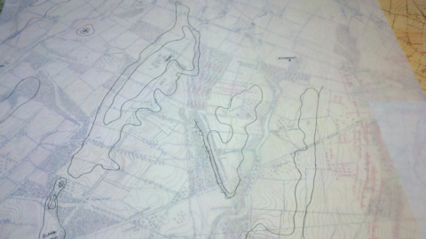
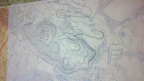
The area around Gettysburg is made up of gently rolling hills. As I continue to trace hills and glue them in place, I’m faced with an elevation issue. The land gently slopes down and away from Gettyburg. Meaning things that look like ridges and peaks to the southeast are much lower overall than those to the northwest. So I have decided to make all my elevations “local.” If a ridge is higher than the area around it I treat it as “elevation 1.” Thus Elevation 1 behind Gettysburg will be lower than Elevation 1 around Herr’s Ridge. But local elevations will match and overall the game map will look right, and I won’t have to make dozens and dozens of huge layers (maybe a project for the future). So for now I continue to trace (Herr’s and McPherson Ridges)
And trace....(Wolf Hill)
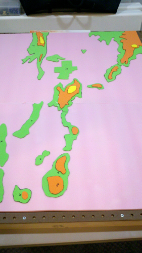
And after the tracing, the oral sex. No wait, the cut and glue. Here is the eastern half of the map so far now sporting levels 2 and 3 (in orange and yellow).
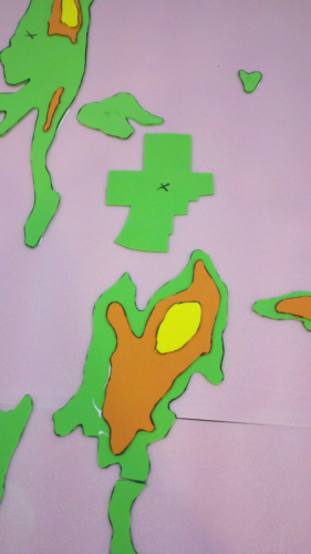
And here is a close up of Cemetery Hill and Gettysburg...
What’s next? Step 2b of course....
|
|
[Home] [How To] [Gettysburg: Pocket Scale] [More Tracing] |
 |


